The best way I've found to map my trips around NYC is by using the free iPhone application called HopStop.

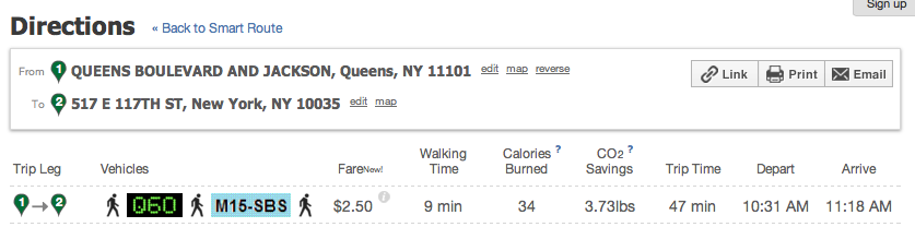
Here is the trip I used to get to a Target Store in East Harlem yesterday. As you can see it cost me $2.50 and included 11 minutes of walking time with a total trip time of 41 minutes.

If I'd wanted to take a bus, it would also calculate that for me. It would have cost the same, but taken me 6 more minutes to get there. However, I would have walked 2 fewer minutes.
If my feet were hurting that day, I could have taken a taxi and got there in only 25 minutes. (Ahem--that's not calculating the time it would take to flag one down on the street or call a service to pick me up.) And I would be out $20 instead of $2.50.
